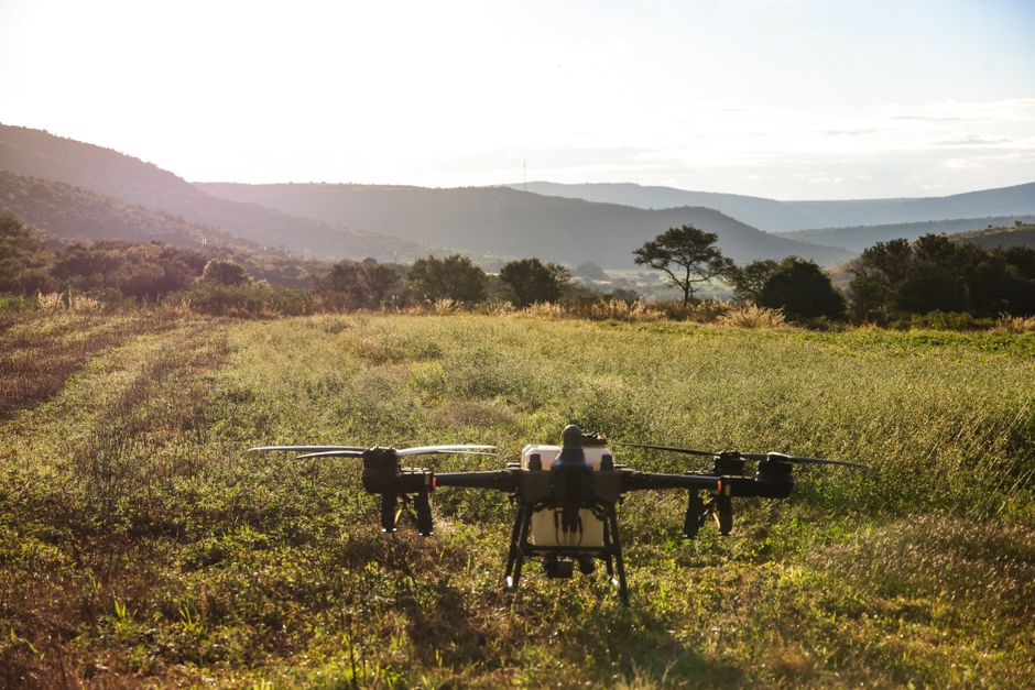
Spotting elusive animals in remote regions once meant days of trekking and hours with binoculars, often with limited results. Now, advanced surveillance drone technology has changed the landscape of wildlife research, enabling scientists to collect precise data faster and more safely than ever before.
How surveillance drones are reshaping wildlife research
Surveillance drones have revolutionized the way conservationists and biologists approach fieldwork. With high-resolution cameras and thermal imaging, drones for wildlife monitoring can track animal movements without disturbing their natural behavior. Researchers use drones to survey habitats, estimate population sizes, and even detect poaching activities in real time. This hands-off approach minimizes stress on wildlife and provides data that was previously difficult or impossible to obtain with traditional methods.
Compared to older manual techniques, drones cover larger expanses in a fraction of the time, offering perspectives from above that are not accessible on foot. For example, counting nesting birds on cliffs or monitoring herds across dense forests is now feasible without endangering either the animals or the research team.
UAVs versus drones: Clarifying the terminology
The terms “UAV” (unmanned aerial vehicle) and “drone” are often used interchangeably, but there are subtle differences. A UAV is technically any aircraft operated without a human pilot onboard, typically controlled remotely or autonomously. In wildlife monitoring, drones usually refer to commercial drones specifically equipped with cameras and sensors for environmental or security applications. While every drone used in ecological projects is a UAV, not all UAVs are designed for the flexible, accessible, and user-friendly tasks that drones can handle.
This distinction matters when selecting equipment for research. Drones intended for scientific monitoring are typically lighter, easier to deploy in the field, and offer dedicated features for data collection and utility inspection work related to wildlife habitats.
Commercial drones: Beyond aerial photography
Commercial drones have expanded their utility beyond capturing aerial footage. Today, drone inspection plays a central role in monitoring wildlife and their environments. From inspecting fence lines around protected reserves to assessing the health of vegetation, drones help researchers perform detailed utility inspections that contribute to ecosystem management.
- Thermal cameras detect animal body heat even in thick foliage or at night.
- Multispectral sensors evaluate plant health and habitat conditions.
- Automated flight paths allow repeated surveys for tracking changes over time.
These capabilities ensure both the safety of field teams and the integrity of sensitive habitats, reducing the need for invasive checks and minimizing human impact.
Integrating advanced drone security and data workflows
As the use of drones expands, drone security and reliable data management have become priorities. Modern solutions like the Acecore drone studio offer secure, encrypted communication, automated flight logs, and cloud-based data analysis tools. These features safeguard sensitive information, especially when tracking endangered species or monitoring private reserves.
The integration of real-time data streaming and secure storage allows researchers to collaborate remotely, responding quickly to emerging threats such as illegal poaching or environmental hazards. With robust security protocols, organizations can ensure that both wildlife and data remain protected throughout the monitoring process.
Choosing the right drone platform for your wildlife project
For conservationists planning to adopt drone technology, selecting the right platform is essential. Consider the following steps when evaluating options for wildlife monitoring:
- Define your target species and habitats to determine the necessary sensors and flight duration.
- Review the level of drone inspection and security features required for your data sensitivity.
- Assess user-friendliness and support, as these impact field deployment and workflow integration.
By aligning your project needs with the capabilities offered by advanced surveillance drones and dedicated studios, you can gain more meaningful insights while enhancing the safety and efficiency of your monitoring efforts.

